Adrok offers geophysical surveying services that specialise in helping mining companies better locate drilling activities. We help de-risk drilling plans by helping to find minerals and characterising subsurface lithology from the ground surface before exploratory drilling commences.
Atomic dielectric resonance (ADR) imaging technology
An advanced imaging technology company headquartered in the UK, we have exclusive global patents for ADR imaging technology for oil and gas and mining applications. The novel technology, adapted from use in the civil engineering and oil and gas sectors, has been proven to map the sub-surface geology accurately, and precisely locate and identify the fluids present.
In trials, the ADR technology identified oil, gas, water, rock types and minerals, penetrated the earth to 4,000m and penetrated highly conductive layers (such as seawater, salts and metals). Adrok’s technology means the mining industry now has a truly holistic method for classifying rock types from the ground surface before exploratory drilling.
ADR imaging for minerals exploration
From recent field projects for precious minerals, base metals and an industrial element, Adrok has demonstrated that ADR imaging represents a significant technology breakthrough in some aspects of minerals exploration. Its advantages include speed, portability, the ability to operate over a broad area and an ability to penetrate without serious loss of focus to depths in excess of 1,000m at relatively low cost.
Potentially, it can replace drilling for stratigraphic mapping, seismic surveys (e.g. for coal) and, in a specially configured version, electron microprobes.
ADR imaging for stratiform / stratabound deposits
The most likely areas of application for ADR imaging are stratiform / stratabound deposits, including Bushveldt-type platinum, phosphate, potash, trona, redbed copper, uranium, coal, oil shales and tar sands.
ADR imaging for prospecting of subsurface minerals
Adrok believes that ADR imaging will not be a panacea in minerals exploration, but instead complement and/or amplify data obtained from existing geological, geochemical and geophysical techniques. For example, although ADR might be able to detect kimberlites and assess some important elements of their mineralogy, it is unlikely to be able to replace existing methodologies required to assess the quality and quantity of diamonds entrained therein.
Adrok is commercially offering its geophysical services using Adrok scanners to prospect for subsurface minerals. Adrok has provided commercial minerals mapping services to a major FTSE100 minerals company, as well as a group of experienced mining entrepreneurs.
Subsurface imaging scanner for oil, gas and minerals
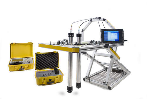
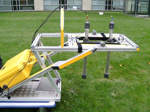
The Adrok Scanner is a new subsurface imaging scanner for oil, gas and minerals exploration and appraisal. It helps map, locate and identify oil, gas, water and minerals from the surface and therefore helps reduce drilling unproductive boreholes.
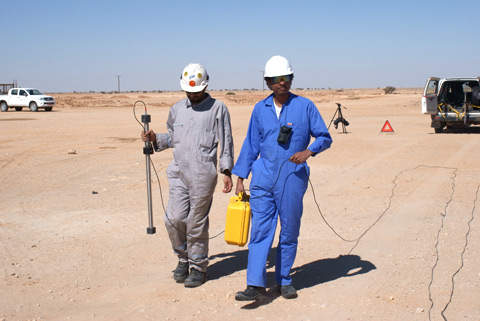
This subsurface imaging scanner generates ‘virtual borehole’ logs of subsurface geology from the surface. It is lightweight, field rugged and portable, to enable cost-effective mobilisation.
The importance of ADR survey services to the mining industry is multifaceted. Capabilities include:
- Identification of fluids and potential mineralisation before exploratory drilling (the first time this has been possible)
- Quantification of rock types and potential mineralisation prior to exploratory drilling
- Mapping of geological structures to a higher resolution, penetrating both soft and hard-rock geology
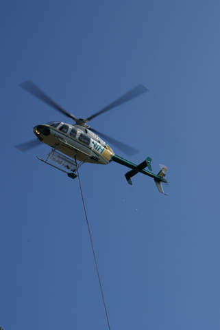
- Ability to be transmitted and collected from a jeep, truck, boat, plane or helicopter means ADR does not need to be in contact with the ground or water
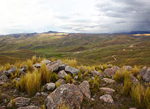
- Allows scanning of large remote areas (such as forests, swamps, deserts and tundra)
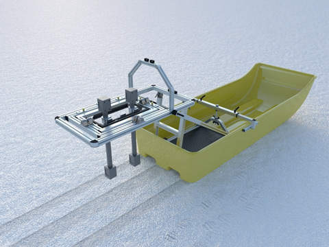
- Allows scanning on frozen lakes
- Inexpensive to use
High-quality ADR data for purchase
Adrok acquires, processes, markets and sells high-quality ADR data worldwide. Companies specialising in natural resources (oil, gas, water and minerals) use this data to explore for subsurface natural resources, develop new reserves, and monitor their producing fields.
Adrok’s typical workflow for client projects is as follows:
- Pre-survey field modelling and project scoping
- Training for ADR signatures (on known structures)
- On-site survey data acquisition
- Data processing and interpretation
- Analysis and results delivery
- Integration to other data sets


