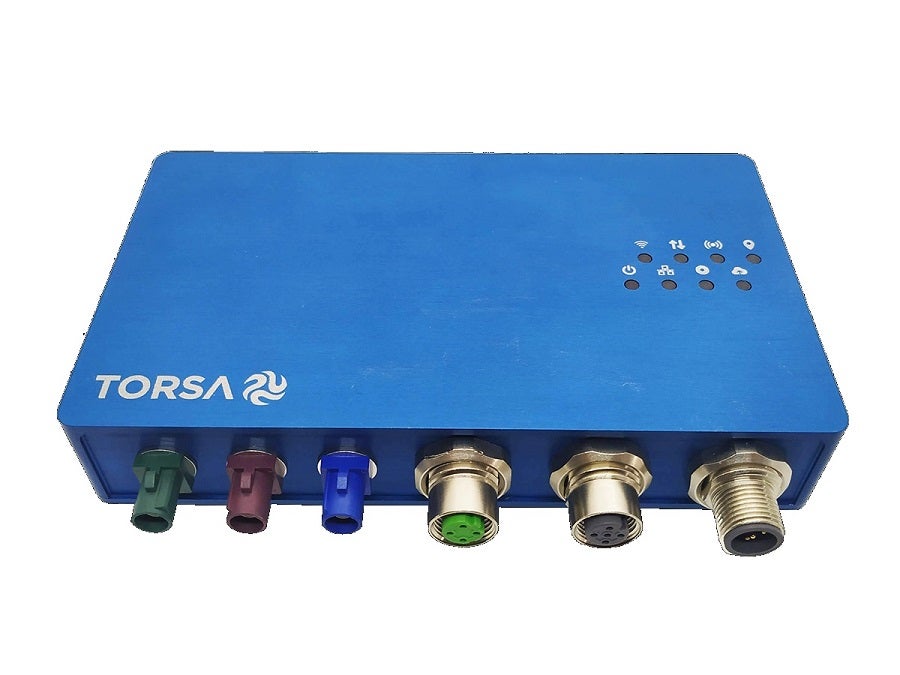
TORSA’s fleet control system allows real-time vehicle monitoring, which makes it possible to monitor the updated positioning of each element of the fleet, as well as the most important data for each vehicle at all times.
Through the TORSA Cloud platform, the system can provide data about positioning, speed, vibration, and direction for each vehicle, as well as telemetry data (obtained using CAN Bus). In addition, the system generates personalized reports and statistics with the most relevant data for each vehicle and shift, such as the total distance travelled by each vehicle, maximum vibrations generated, average and maximum speeds, etc.
The system allows the identification of the path followed over time by each vehicle during its operational day, this tool is very useful when recreating situations and analysing loading, unloading, hauling times, etc.
In addition, fleet control allows exhaustive control of each vehicle based on the various parameters that the system generates. All the systems embedded in the vehicles can be configured remotely from the TORSA Cloud platform, which displays the necessary information for each user profile. The platform provides different dashboards for the different departments of the mining operation (operations dashboard, IT, maintenance), enabling consultation of a wide range of data such as the general position map, list of operational incidents and occupational, vehicle list and, in addition, stats and reports that can be adapted by TORSA according to the specific needs of each client.
The system records the GPS coordinates (received through the antenna located in the vehicle) and the vibrations to which the equipment is exposed (optionally with the optional sensor pad on the seat) and sends this data to the communications gateway, that is in charge of internally storing the information and sending it through to the server through the network. The TORSA Cloud management and visualization platform is hosted on said server.
After its implementation in the field, the following benefits and indicators have been observed, leading to an increase in the productivity of the operation:
- Analysis of loading operations:
By monitoring the positions and vibrations continuously and in real-time, it is possible to analyse the loading and unloading situations, in addition to being able to identify the events reported as “lashes”, thereby allowing for the identification and retraining of the operators that need it.
- Runway and tracks status analysis:
Applying vibration fusion algorithms to the coordinates of the integrated GPS, hot maps of the mining operation are generated with the real-time status of the tracks as a tool for the maintenance area.
- Geofences configuration:
With the creation of geofences, loading and unloading areas, restricted areas, etc., which are considered relevant by the client, can be delimited and mapped. Furthermore, the client can create, edit and delete geofences from the interface at any time, making sure that all relevant information is incorporated.
- Generation of statistics and indicators:
From the Torsa Cloud platform the user is able to consult general statistics, filtered statistics for each vehicle and any indicator that the client considers relevant.

