Located in central Western Australia, the Ernest Giles project covers an area of more than 2,000km², including more than 230km of strike of gold and nickel prospective rocks. Numerous successful exploration discoveries such as the Tropicana deposit of AngloGold, and Yamarna/Gruyere of Gold Road Resources originated from the region.
Greatland Gold applied for a new exploration licence to expand its landholding at the Ernest Giles gold project to more than 2,000km on 16 October 2017. If approved, the licence will increase the size of Eastern blocks to approximately 800km², including a 90km-long north-south trending sequence of rocks.
Precious and base metals exploration and development company Greatland Gold a is the project developer, which believes that the deposit hosts 5Moz in addition to clusters of camp-type gold discoveries.
Exploration agreement with Newmont
Greatland Gold entered an agreement with Newmont Mining’s subsidiary Newmont Exploration in May 2017, allowing the latter to access the tenements and exploration database of the project for a period of six months.
Newmont also gains the right of first refusal if Greatland proposes to sell or enter a joint venture for the project, as part of the agreement. It will apply certain proprietary exploration methods at the project to identify large gold systems lying underneath.
Geology and mineralisation
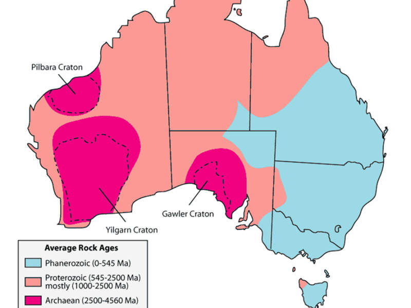
The project is spread over two buried Archean greenstone belts, a part of the eastern Yilgarn Craton, which hosts a number of gold deposits such as Wiluna, Leonora, Kalgoorlie, St Ives, and Norseman, along with Mt Keith, Leinster, and Kambalda nickel sulphide deposits.
The Ernest Giles project tenements comprise Archean greenstone belts hosting linear, strong magnetic lithologies. The greenstone sequence contains both disseminated and massive nickel-sulphide mineralisation and is overlain by approximately 10m of desert sands along with more than 50m of fine-grained Proterozoic sediments.
The Carnegie target of the project resembles both the geophysical signature and size of the Nova nickel deposit.
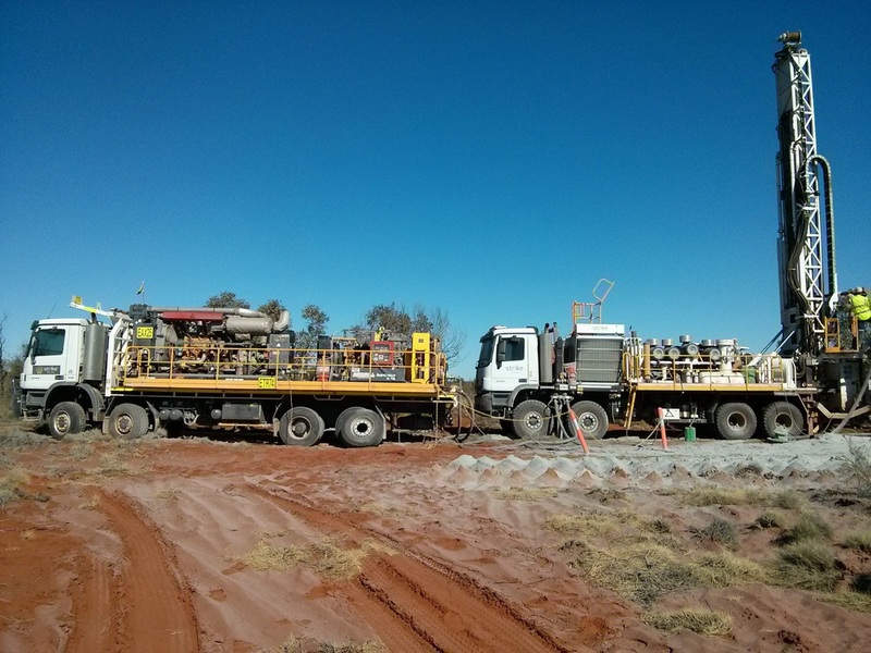
Drilling at the Carnegie target commenced in the second quarter of 2015, which identified the presence of mafic intrusive rocks displaying high frequencies of haematite and magnetite alteration.
Details of RC drilling programme
In 2016, Greatland Gold conducted a comprehensive RC drilling programme, which included 23 holes to a depth of 5,581m at the Meadows in the south-eastern portion of the project. Of the 23 holes drilled, mineralisation was observed in 13 holes with most of them exhibiting gold anomalous zones of more than 10m with a maximum grade of 0.78g/t gold.
The programme identified two large zones of mineralisation at Meadows, namely the Western (6km x 1.5km) and the Eastern (2km x 1.5km).
Recent surveys and exploration at Ernest Giles
The initial drill programmes at the project included the wildcat drilling and detailed airborne geophysics, which identified gold mineralisation and a huge alteration system.
A comprehensive airborne survey was conducted in May 2017 over the northern sequences and the Ernest Giles East Block. The survey was conducted in a 600km² area covering an 80km-long north-south trending sequence of rocks that represents a continuation of the gold prospective greenstone sequence.
The company completed an extensive ground gravity survey, in June 2017, over parts of the Western licences including the Empress, Wishbone, and the greater Meadows area. Based on the results of the survey and the airborne magnetics, a number of additional targets were identified, which are conducive to gold mineralisation.
Greatland completed initial works such as broadly spaced ground gravity and first pass Mobile Metal Ion (MMI) sampling over the Eastern block in September 2017. MMI sampling outlined multiple gold anomalies over approximately 60km of strike, with the majority of them presented as clusters of elevated responses over several adjoining east-west sample traverses.
Most of the anomalies extended over a strike length of more than 9km and up to 3km width. They are situated subparallel to the regional geological strike or as an integral part of cross-cutting structures, highlighting demagnetisation of bedrock geology.


