
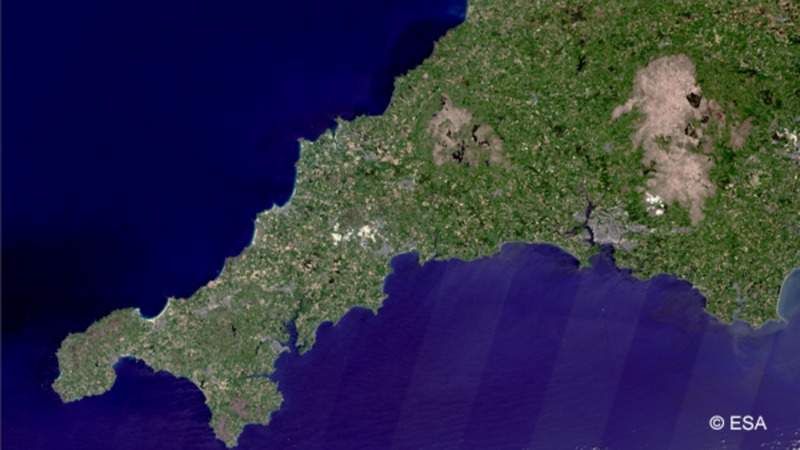
A consortium of 11 organisations has started a new research project funded by the UK Government to identify lithium mineral deposits in Cornwall using satellites.
Named the ‘Satellite Applications Catapult’, the project is evaluating the possibility of detecting a lithium ‘fingerprint’ from space by studying satellite images of vegetation and minerals on the ground.
Go deeper with GlobalData

The partners intend to integrate the data from the study with geological information to create a ‘prospectivity map’ that is expected to enable identification of indicators of geological structures, which may host lithium in waters deep below the surface.
The consortium comprises British Geological Survey, Camborne School of Mines, Carrak Consulting, North Coast Consulting, Cornish Lithium, CGG, Terrabotics, Telespazio Vega UK, Geo Performa and Dares Technology.
Cornish Lithium founder and CEO Jeremy Wrathall said: “Lithium has significant strategic importance to the UK economy and we hope that the funding will accelerate understanding of the potential to extract lithium in Cornwall.
“We believe that techniques developed from this study will prove of great interest to the mining industry globally given the growing importance of Earth observation techniques as an unobtrusive exploration tool worldwide.”
The project has been awarded a grant of £850,000 from Innovate UK.
Results from the project are scheduled to be obtained in March this year.
The study comes at a time when there is a growing demand for lithium, driven by a potential global switch to electric vehicles, as well as power storage batteries.
Furthermore, the study is assessing whether satellite techniques can assist in prioritising areas for exploration for the future production of lithium.
