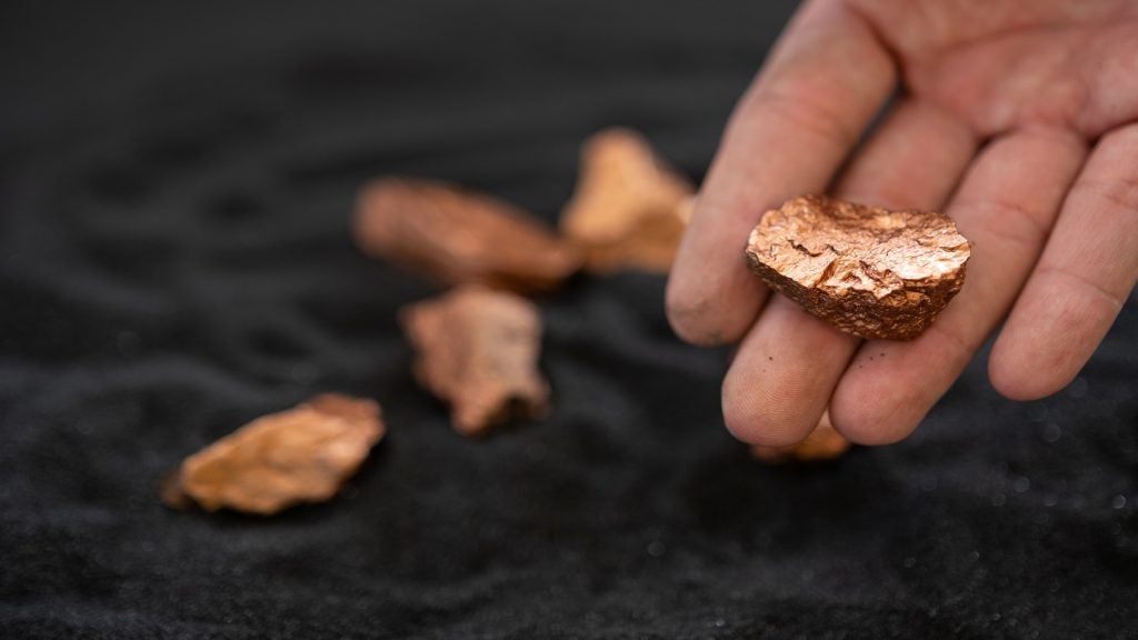
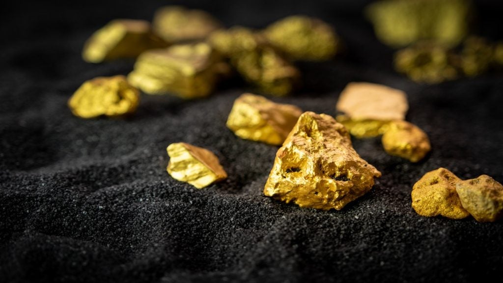
SBQuantum, a company developing diamond quantum magnetometers to accelerate critical mineral discovery, has partnered with Silicon Microgravity, a developer of inertial and gravity sensors.
With just under $900,000 in funding from the Canadian and UK governments, the partners are creating a drone-based system of sensors to rapidly identify the location of mineral deposits, accelerating the exploration process and providing an emissions-free method of discovery.
Go deeper with GlobalData

The project, which will take 18 months to complete, represents the first deployment of a diamond-based quantum magnetometer on a drone. The companies aim to deploy the technology at Glencore’s Raglan nickel mine in northern Quebec next year.
We caught up with David Roy-Guay, CEO and co-founder of SBQuantum, to find out more about the technology, its applications and the path to commercialisation.
Scarlett Evans (SE): Tell us about your technology – how does it work?
David Roy-Guay (DRG): The quantum device we are developing is to do with magnetic field sensing.
Earth’s magnetic field is everywhere, created by the movement of magma at the Earth’s core. This field can be altered by any metallic object, so any presence of metal elements has an effect and can be picked up by instruments known as magnetometers.
How well do you really know your competitors?
Access the most comprehensive Company Profiles on the market, powered by GlobalData. Save hours of research. Gain competitive edge.

Thank you!
Your download email will arrive shortly
Not ready to buy yet? Download a free sample
We are confident about the unique quality of our Company Profiles. However, we want you to make the most beneficial decision for your business, so we offer a free sample that you can download by submitting the below form
By GlobalDataOur tech is a novel generation of magnetometers based on quantum impurities and diamonds. At the heart of our sensor are synthetic lab-grown diamonds, which are made up of carbon and to which we added nitrogen to give it the property of ‘spin’ – basically turning it into the tiniest magnet you can find.
We have spent the last six years making the tech portable, so it can be deployed easily in the field and even carried by drones to scan the Earth, map its magnetic field and identify areas with mineral deposits to lead the mining exploration process.
SE: How does your technology compare with current exploration methods?
DRG: Traditionally, you could use previously found mineral bodies to infer where ore deposits are, and what kind of material is there, before sending in a crew to start drilling.
Using our sensors, we can create a 3D map of the ore body – what it looks like, how big it is, how deep it goes – and then we can provide miners with more precise insights on where they should drill.
Currently, teams can map the amplitude of Earth’s magnetic fields, feeding this data into mathematical models to create a 3D, on-the-ground picture of what the ore body looks like. However, amplitude data is very limited information, and will give hundreds of possible maps.
We are developing not just the one sensor but also an array of sensors to provide nine-times more precise magnetic field maps. From this, we can have a better understanding of what is shallow, what is deep, and feed these as constraints into the mathematical model, so that we can really go from 100 answers to one or two.
Using drones to deploy the sensors also makes this method of surveying more accessible and less invasive than current methods.
Current sensors to create these maps require huge cooling equipment, making them incredibly difficult to deploy at a mine site. Our tech is important in that it combines magnetic and gravity sensing into a single solution.
SE: How is your project with Silicon Microgravity advancing the tech?
DRG: Through our collaboration with Silicon Microgravity, we are able to integrate gravity sensing into the platform. So they are providing all the gravimetry expertise – measuring gravity fields.
Magnetometry will tell you about the geology – what kind of materials are in the ground – and then gravity can tell you if the material in the ground is very dense. Using this information, you can derive exploration insights into what kind of ore is in the ground.
Measuring Earth’s magnetic field fluctuations can give you one piece of information, but not the complete picture. If there is a high gravity field, then that means there is something very dense, like iron. So really fusing these two sensing modalities together, then we can get better insights to steer exploration.
SE: What stage is the project at now?
DRG: We have completed a few pilots, so we have taken the tech out into the field. The objective of this project is to move towards strong deployment, so developing the magnetometers to be super compact and accurate.
We are currently at the integration phase with Silicon Microgravity, but the aim is to be in the field in northern Quebec at the Glencore mine site Raglan by next year, where they are mining for nickel.
We will be using these gravity and magnetometer measurements to produce novel types of maps and correlate this with the training data they have, so we can predict where to expand their mine.
SE: Looking ahead, what do you see for your sensor tech?
DRG: Down the road, we are looking to also measure electromagnetics, which conventionally are helicopter-borne. We would aim to deploy this also on the drone platform so that we can map the conductivity in the ground, which will give you even more information on the kinds of deposits in the ground.
We also found there was a good market opportunity in the defence sector, with these sensors having a potential use in submarines to identify objects around them. The other application is navigation, providing high-quality mapping capabilities for a range of navigation instruments including cell phones. We have this as an ongoing research project.
These are some other applications, but the biggest market we have identified is really within mining expiration.