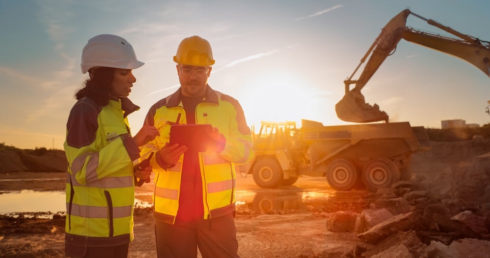
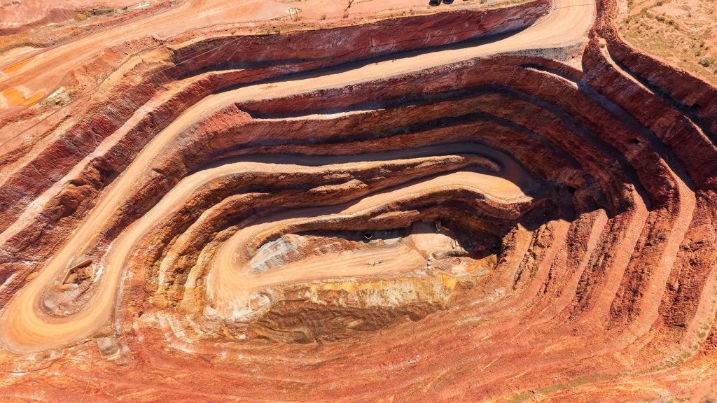
Discovering new deposits of critical and rare earth minerals is paramount to delivering global net-zero ambitions. However, finding new ore bodies is becoming more challenging due to increasing costs and geopolitical tensions. What is more, much of the low-hanging fruit, so to speak, has already been exploited.
Could technological advances help broaden the search and speed up the process? Dr Bryony Richards, a senior research scientist with the Energy & Geoscience Institute at the University of Utah in the US, believes so.
Go deeper with GlobalData

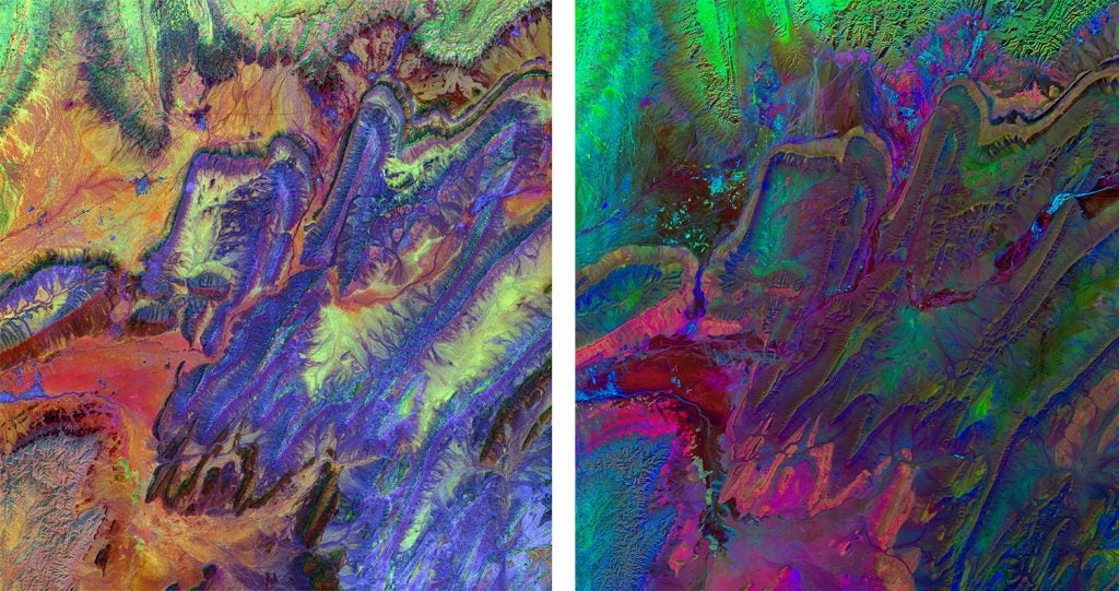
Richards and her colleagues are incorporating NASA’s and Japan’s global Advanced Spaceborne Thermal Emission and Reflection Radiometer (ASTER) imagery with that of new satellite data, advances in computing power and AI. With this approach, they are developing a comprehensive first-of-a-kind method to uncover the ‘fingerprints’ of mineral deposits that could eventually provide a more cost and time-effective way of mapping minerals in remote areas.
Their research builds on the previous work of Australia’s national science agency, CISRO, which, in 1999, developed the first continental-scale mineral maps using data from ASTER. These maps were groundbreaking but are now considered too coarse in many situations to be highly accurate for mineral prospecting.
Hunting for mineral fingerprints
“What we are doing is like detective work,” says Richards, who has a history working in mineral prospecting.
“We are gathering evidence of potential mineral deposits using satellites and other data sources; each satellite gives us a further understanding. We then continue to investigate these hotspots using various satellite methodologies including reconfiguring satellite data bands to identify the distinct signatures of specific minerals and build their reflectance profiles.”
How well do you really know your competitors?
Access the most comprehensive Company Profiles on the market, powered by GlobalData. Save hours of research. Gain competitive edge.

Thank you!
Your download email will arrive shortly
Not ready to buy yet? Download a free sample
We are confident about the unique quality of our Company Profiles. However, we want you to make the most beneficial decision for your business, so we offer a free sample that you can download by submitting the below form
By GlobalDataThe satellites the team uses include Sentinel-2, Landsat-8, Hyperion and Prisma, all of which were launched and are maintained by various governments.
The satellite images are hyperspectral. This means they capture the response of a material to ultraviolet light. By examining what bounces off the light, geologists can build a reflectance profile of the minerals on the surface. This may be a mineral alteration in the rock that could be caused by heat pressure, temperature, fluid fluxes or human effects.
“The hyperspectral imaging is on a per-pixel basis and allows us to do this through different combinations of spectra and band ratios. The pixels differ by satellite, what size they are, and by what wavelength of light you are looking at,” explains Richards.
Improvements in computer technology, memory, RAM (random-access memory), and software mean the images can be manipulated better and the data reconfigured.
“It also means we can utilise data that has been publicly available to us for decades in a much more meaningful way. This gives us a chance to find minerals in each one of the bands,” she adds.
The benefit of using hyperspectral imaging with rocks is that many rock profiles have already been documented by the US Geological Survey and NASA. There are even hyperspectral images from the moon.
In addition to the images, Richards and her colleagues are also analysing rocks taken from satellite hotspots under a microscope and at the nanoscale using various types of electron microscopy. Together this information helps them discover the fingerprints of certain rocks in both regional and local satellite data.
Other data such as geological maps, geophysical data and information from websites such as Mindat, which all hold a wide variety of data on rock samples, add another layer of information to their understanding of complex geological environments.
The data is combined in an algorithm, which Richards is honing with the university’s ai.sys research group to identify things in the data that would otherwise be missed because it is so complex.
“The AI helps us pick out hotspots in the images and data. It is designed to find a target, essentially,” she explains.
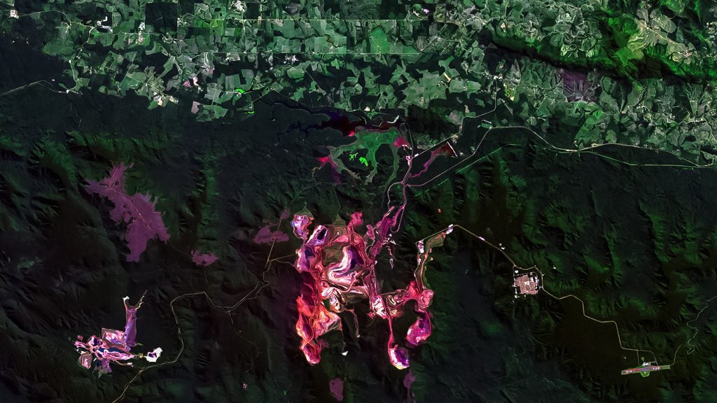
Searching for beryllium on Spor Mountain
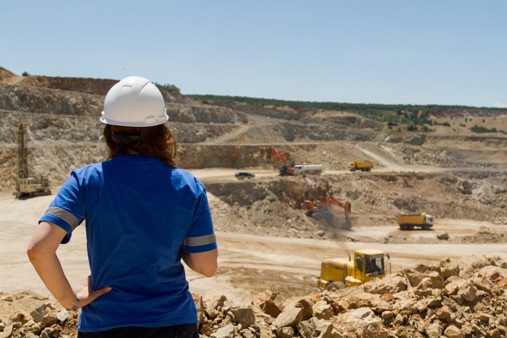
Spor Mountain is a small mountain range with a long mining history and known deposits of uranium, fluorspar and beryllium. It is also the ‘control group’, effectively, to test the efficacy of Richards’ and her colleagues’ work.
In the mountain range, they are searching for beryllium, a metal used in alloys with copper or nickel. The silvery white metal has different reflectivity properties than its host rock, making it easy to spot.
“We are trying to trace how it has moved through these rocks so we can then use that as an analogy around the world to potentially find other beryllium deposits,” Richards explains.
At other study sites, which are currently being evaluated, Richards is planning to fly drones carrying hyperspectral imaging cameras that will add another layer to the resolution of data. Hyperspectral images collected by drone have a higher resolution as they are taken closer to the ground than those produced by satellites.
Another important part of the methodology is ground truthing, essentially taking samples from the ground to validate the data.
Identifying minerals with live algorithms
Once the model is honed and proven at Spor Mountain, Richards wants to apply it to other areas around the world, for which she says there has been a fair amount of interest, including from China.
Richards has worked in remote areas of Africa for DeBeers and other companies and completed her PhD in Milford Sound, New Zealand. She hopes her current research will provide a more time and cost-effective way of exploring for minerals, including remotely mapping them.
“In previous roles I analysed thousands of soil samples in Africa, but it took months to get an accurate picture of what was going on; hopefully, this shaves off a lot of time for exploration in remote areas. It can also be used for national security to understand the reserves of other countries,” she says.
Richards is also hoping to use the method to assess the potential of mineral recovery from the tailings facilities of abandoned mines, for which she has applied for government funding. Her ultimate goal, however, is to develop live algorithms for mineral detection using hyperspectral imaging and drones in real time.
“Companies could either send boots on the ground, use satellites for high ground characterisation, or fly really high-resolution hyperspectral over the areas, and use aerial photography to build a picture of where they want to do more exploration,” she explains.
“For remote areas, it could help them know whether it is even worth going there.”
However, she caveats that the method will tell a story and not give the numbers, because hyperspectral imaging provides reflectance rather than composition, so it is not possible to determine the concentrations of resources in the ground.
A burgeoning approach to mineral exploration
The UK Space Agency and Satellite Applications Catapult has also undertaken similar work. It is running a programme in partnership with the British Geological Society, Cornish Lithium and others to study satellite data and advanced analytics to help identify potential locations of battery metals in Cornwall. It builds on previous work looking at satellites that detected characteristics in vegetation and minerals on the surface.
There are challenges to this work, however. Hyperspectral is a rainbow image, rather than just red, blue and green, meaning every image contains huge amounts of data. Even basic ones are hundreds of megabytes, with some data, such as that produced by NASA’s airborne platform AVIRIS, in the tens of gigabytes range. Calibrated drone and camera technology is also needed, and the cameras can be heavy. It can also be challenging to find people who know how to work with hyperspectral imaging, and geologists are often reluctant to embrace new technology, which is why Richards believes hyperspectral imaging is not yet used more widely.
Providing a miner’s perspective on the potential, Duane Parnham, CEO of Madison Metals, an upstream mining and exploration company focused on uranium production in Namibia and Canada, believes it is very helpful when the “land package is huge”. His team has used hyperspectral satellite imagery to map the nickel granite alaskite, the rock type that carries uranium, in Namibia and to look for copper porphyry in Panama.
“For example, if you know there’s some examples of copper porphyry in Pakistan, but you don’t want to go to there and prospect with an AK 47, you look at satellite imagery. I think it is a great tool,” he says.
He adds that it isn’t necessarily getting harder to find minerals, but access is becoming more challenging due to geopolitical issues, government regulations and environmental and indigenous groups opposing mining.
“I think it is physically harder, but you can prospect from your office, so that shouldn’t restrict doing the science at least, but the practical part of me and my training says we still have to ground truth and start drilling it,” he says.
Richards and her colleagues plan to publish their work at Spor Mountain at the end of the year. They will also publish on the use of hyperspectral imaging in the detection of natural hydrogen seeps.